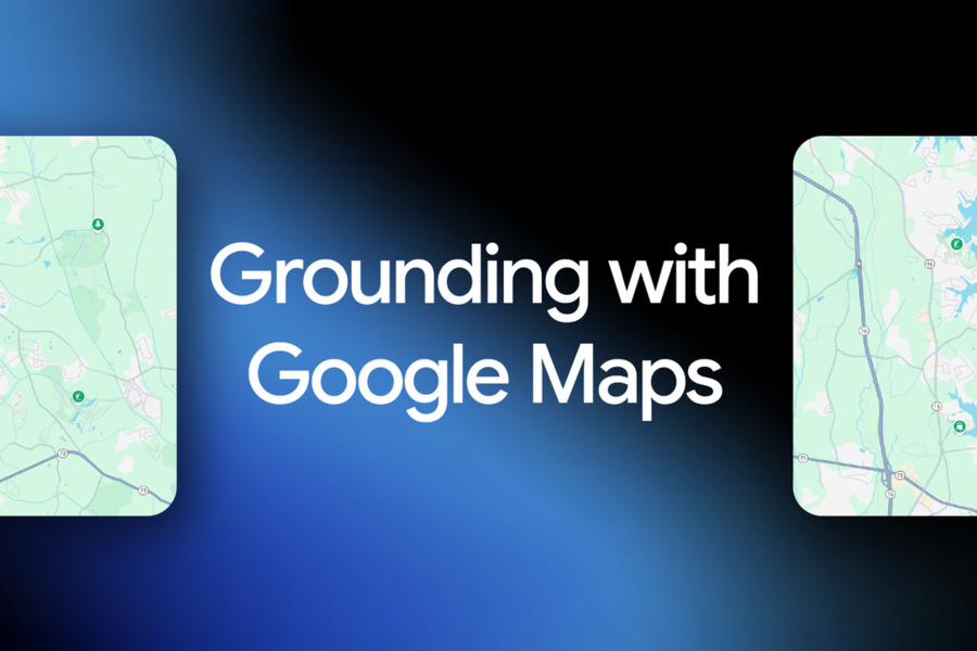
In a significant move to bridge artificial intelligence with the physical world, Google has launched “Grounding with Google Maps” for its Gemini API. This new feature directly connects the advanced reasoning of Gemini models to the vast, real-time geospatial database of Google Maps.
By granting AI structured access to data for over 250 million global locations—including addresses, operating hours, user ratings, and photos—the tool enables the generation of highly accurate, location-aware responses.
This integration represents a strategic fusion of Google’s core data assets with its cutting-edge AI, signaling a major evolution for developers building applications that require verifiable, real-world context. It moves AI beyond abstract text generation and into the realm of actionable, grounded intelligence.
What is Grounding with Google Maps?
Fundamentally, Grounding with Google Maps acts as a sophisticated tool-use mechanism within the Gemini API. When a user submits a query with geographical intent—such as searching for nearby businesses, planning a route, or requesting regional information—the Gemini model automatically identifies this need and activates the Google Maps grounding tool.
This tool establishes a live connection to the structured data within the Google Geo ecosystem. By anchoring the AI’s response to this factual, up-to-date information, the feature significantly reduces the risk of “hallucinations,” a known issue where large language models (LLMs) might invent plausible-sounding but incorrect facts.

For example, a query like, “Find a quiet coffee shop with reliable Wi-Fi for a meeting downtown this afternoon,” would trigger a multi-faceted response. The AI would not only suggest suitable cafes but also integrate real-time data on their current operating hours, highlight user reviews that specifically mention Wi-Fi quality and noise levels, and can even provide an interactive map component with walking directions. This transforms a simple text answer into a practical, context-rich solution.
What is Grounding with Google Maps Used For?
The applications for this new tool span numerous industries, offering developers a powerful, turnkey solution for creating next-generation, location-aware experiences.
- Real Estate and Urban Planning: Platforms can automate the creation of detailed neighborhood analyses. These reports can instantly detail a property’s proximity to schools, parks, public transit, and other amenities, all powered by live Google Maps data.
- Retail and E-commerce: Applications can deliver hyper-personalized shopping experiences. This includes checking real-time in-store inventory based on a user’s location or sending targeted discount notifications as a customer approaches a physical store, seamlessly blending online and offline commerce.
- Logistics and Delivery: Companies in the transportation sector can build more intelligent routing systems. These systems can factor in live traffic conditions, road closures, and localized vehicle restrictions to optimize delivery times and improve overall operational efficiency.
- Travel and Itinerary Planning: Travel applications can now generate dynamic, feasible day-long itineraries. Instead of just listing attractions, the AI can build a schedule that automatically accounts for real-world constraints like opening hours, estimated travel times between destinations, and user preferences, creating a robust and actionable travel plan.
Google highlights that the feature’s full potential is realized when combined with Grounding with Google Search. While Maps provides the foundational, structured geographical data (locations, hours, photos), Search supplements responses with dynamic, web-based information (recent news, event announcements, blog posts). Together, they create a comprehensive answer that merges map data, search results, and AI reasoning.
Industry Impact of Grounding with Google Maps
The launch of this tool is poised to create substantial shifts in how location-based applications are built and how AI is utilized for decision-making.
- Dramatically Lowered Barrier to Entry: Previously, integrating sophisticated geographical intelligence required developers to manage complex map APIs, reconcile disparate data formats, and ensure constant data updates. Grounding with Google Maps abstracts this entire complexity into a single, easy-to-use AI tool. This democratizes access, allowing a wider range of developers to incorporate advanced location capabilities without specialized geospatial expertise.
- The Evolution from Tool to Decision System: Industry observers note this is a critical step in AI’s maturation. By providing models with a reliable conduit to structured, factual data, the AI’s role evolves from an information summarizer to a core component of a decision system. This is particularly transformative for sectors like tourism, property technology (PropTech), and local services, where accurate geographical data is paramount for making verifiable, actionable recommendations.
- Global Scale and Accessibility: The feature has been launched with global reach, supporting developers in over 200 countries and regions and processing queries in more than 36 languages. This ensures that applications can be built with local relevance while maintaining the potential for worldwide scalability. To support rapid adoption, Google has provided extensive official documentation and code examples in the Gemini API Cookbook.
Final Words
Grounding with Google Maps is more than a technical update; it is a strategic declaration from Google. It underscores the company’s intent to leverage its unparalleled data resources, like Maps, to create tangible competitive advantages in the AI era.
By offering a streamlined and powerful integration, Google is setting a high technical standard and fostering developer reliance within the burgeoning field of location-intelligent applications.
This powerful synergy of “Data + AI” ensures that for any developer seeking to build applications that understand and interact with the real world, the most robust and accurate foundation will likely be found within the combined Gemini and Google Maps ecosystem.